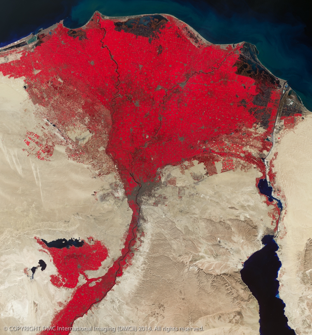
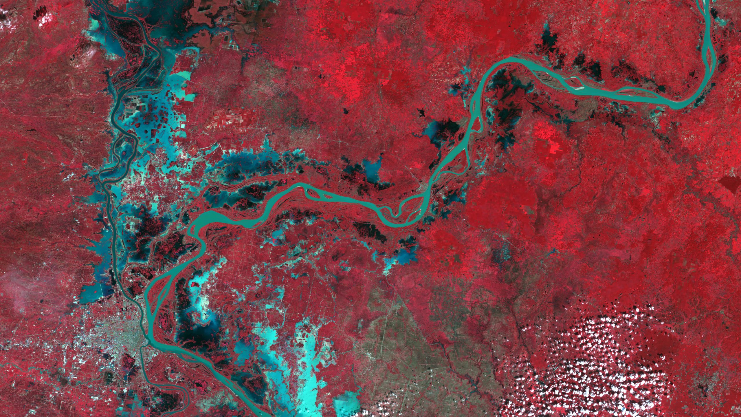
Start for IT provides our customers with cutting-edge geospatial data products. Through the years, we have earned a reputation as an unbiased consultant who identifies the right data to solve customer’s problems and meet specific project requirements. Our highly-skilled staff of photogrammetrists, programmers, and imagery scientists draw upon their vast experience as well as access to a multitude of data types from the top vendors around the world.
Start for IT provides a wide range of high-quality professional and custom mapping services. Our robust team of photogrammetrists, programmers, and imagery scientists have over 20 combined years of experience solving problems and delivering mapping products on time and on budget.
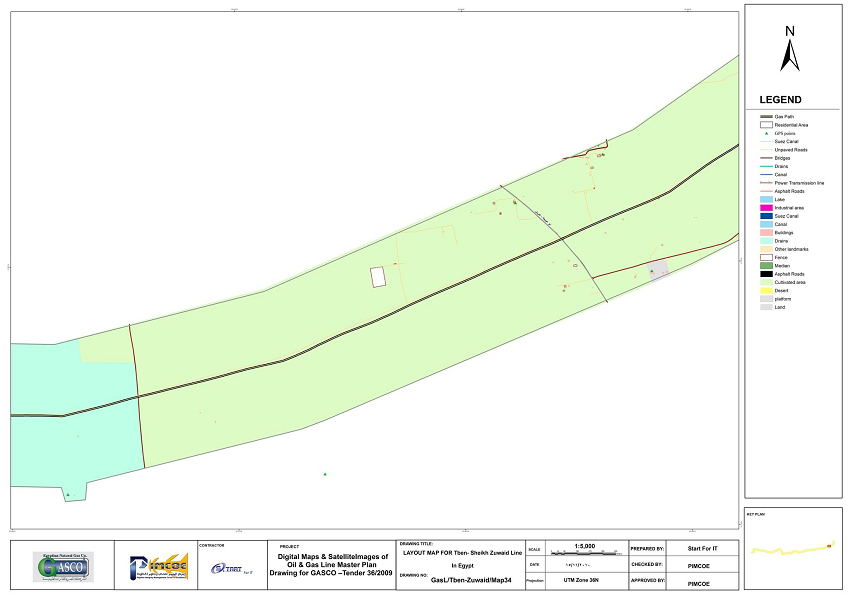
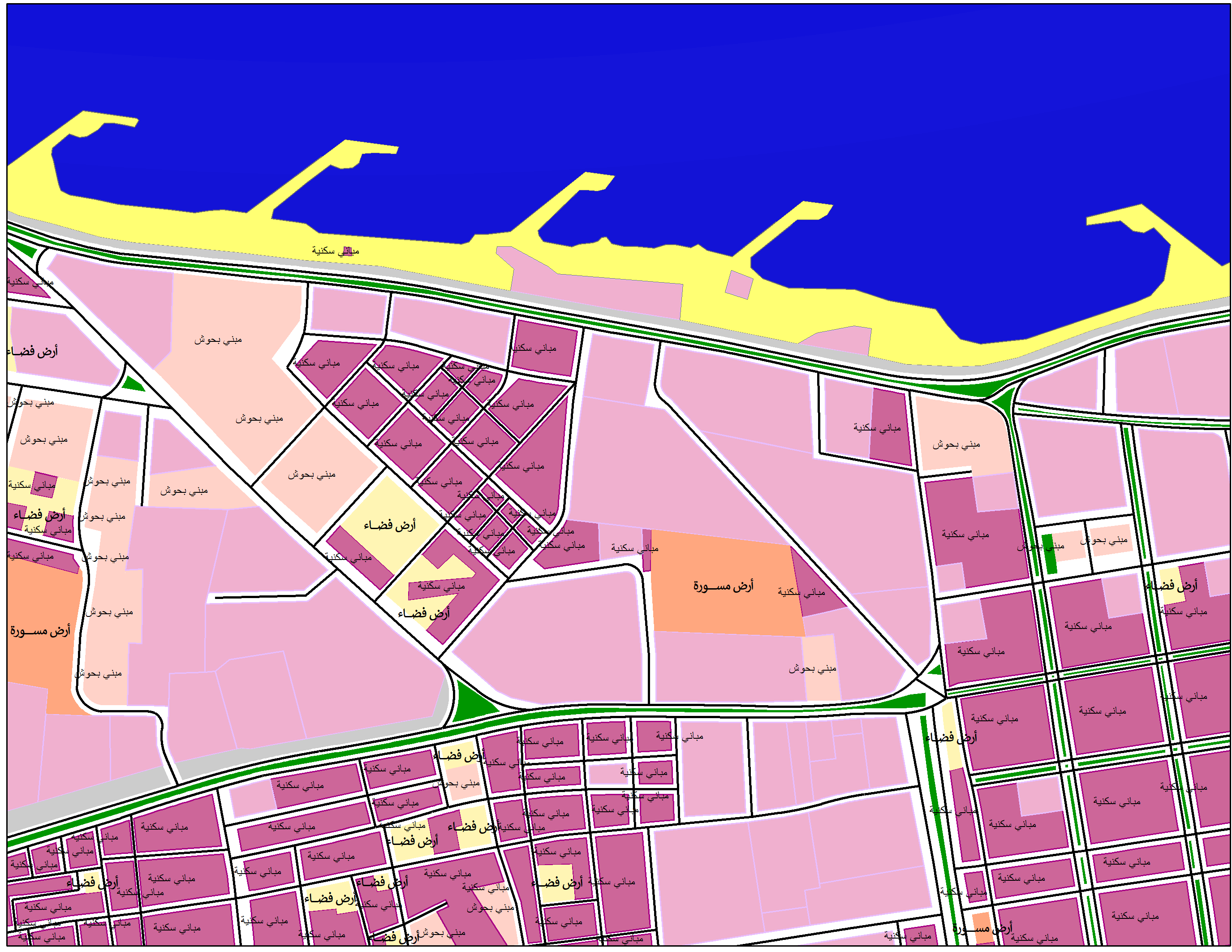
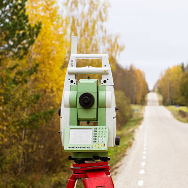
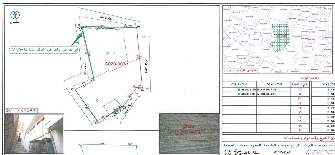
A Land Survey locating natural and man made features such as buildings, improvements, fences, elevations, landscaping, trees, streams, etc. A depiction of elevations using contours and ground spot elevations is a central component of topography. This type of survey may be required by a government agency, or may be used by Engineers and/or Architects for the design of improvements or developments on a site.
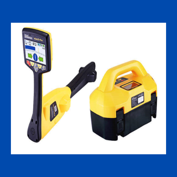
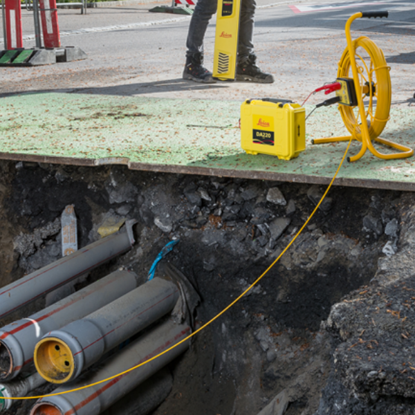
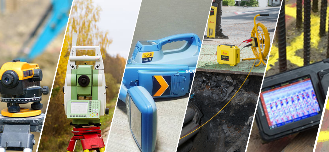
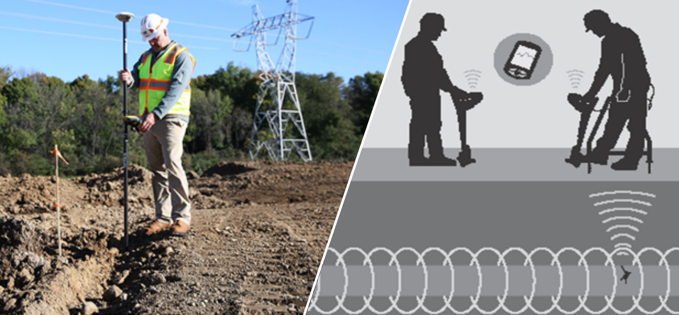
we’ve helped organizations leak detection or utilities detection, visualize and assess underground infrastructure before they dig, utilizing advanced geophysical detection technology with boots-on-the-ground expertise. No other company offers this unique combination of experience and service in subsurface utility engineering.